
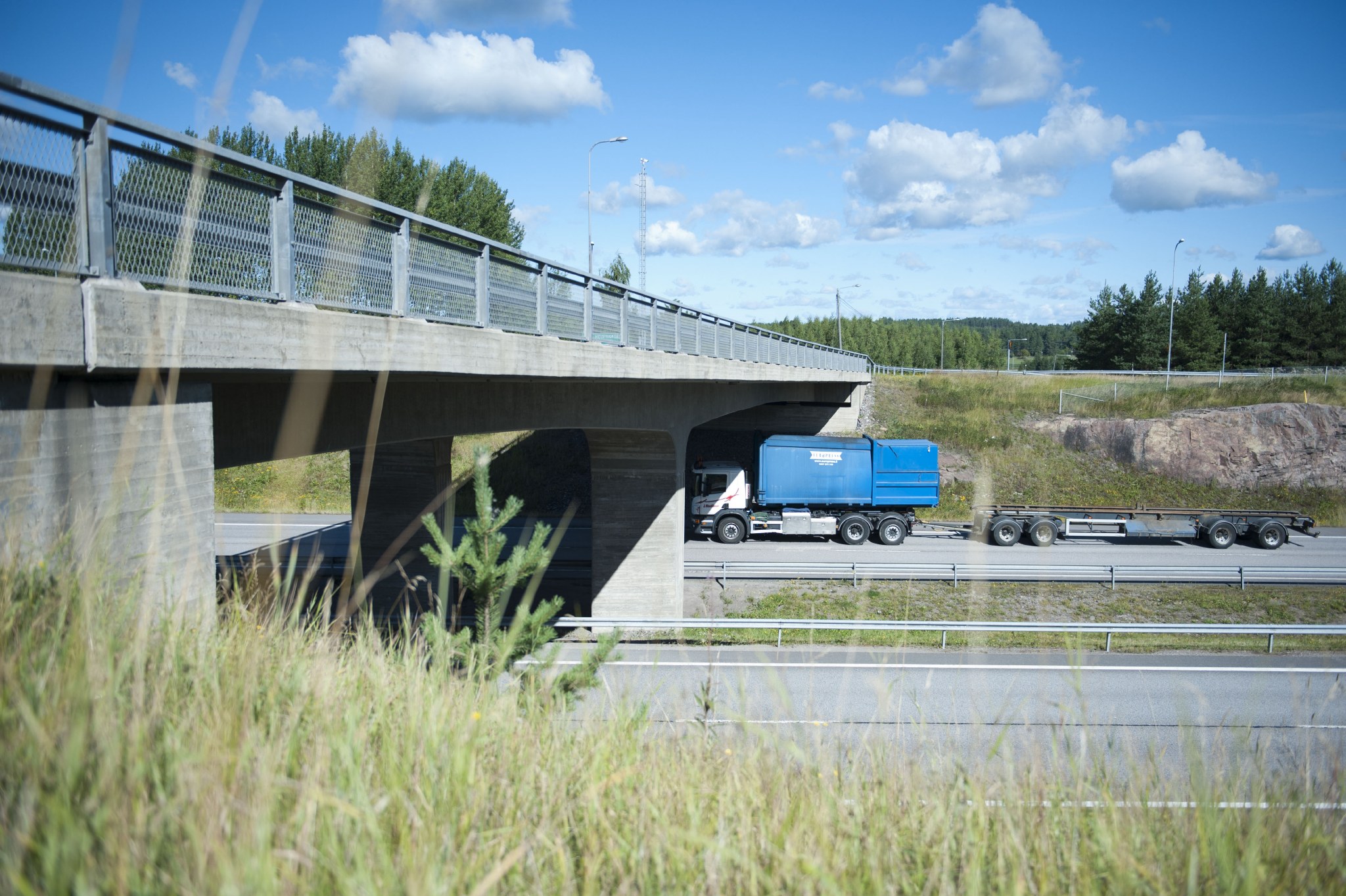
Will my vehicle fit under that bridge? Motorists with passenger cars rarely need to consider such questions, but with a high-bed truck the situation may be different. There are numerous bridges, underpasses and gates in Finland where the clearance can be less than 4.4 metres. In addition, the situation is constantly changing, due to things such as roadwork. Drivers are notified of restrictions with traffic signs, but will this be too late for the driver?
"The yellow press reports now and then on how trucks and lorries crash into too bridges that are too low for them to go under. I believe that many of these accidents could be avoided if drivers used the Tietorahdin kartta map app," says Janne Lausvaara, Managing Director of Tietorahti.
Tietorahdin kartta is a mobile application that collects up-to-date information on bridges and underpasses. The app also contains other useful information for drivers of heavy vehicles, such as information on service stations and rest stops. The app is provided free of charge to its users.
The application collects data from many different sources. Digiroad is one of the most important sources used by the service. Digiroad is the Finnish Transport Infrastructure Agency's open and national open data information system. It contains the centreline geometry of the entire road and street network in Finland as well as its most important specifications. The service also contains information on restrictions and prohibitions.
"Other sources of information include data from Fintraffic, ELY Centres, developers, municipalities and cities," says Lausvaara. Importing information from many different sources through interfaces and crowdsourced from professional drivers as well as the correction of quality deviations are challenging but manageable entities.
Three ways to reduce accidents
A lorry hitting a bridge is an unfortunate event. The lorry itself and its freight may be damaged, transport of the goods will be delayed, the bridge may be damaged and traffic may be congested for a long time. These are many of the reasons for why reducing the number of such accidents is necessary. Lausvaara lists three methods that he believes would make traffic safer.
1. Up-to-date and timely information
If the clearance of a bridge changes, there is an obligation to notify of altered arrangements in Finland. Typically, the data is updated in a timely manner, but sometimes due to human error, e.g., the systems may contain old data.
"Information on changing clearance limits in particular from construction sites should be updated in different systems in a timely manner. Due to the planning routes, information should preferably be received well in advance. It is not necessarily enough for transport companies to be informed of the change in clearance the day before a driver sets off on a route," says Lausvaara.
2. Know your vehicle
The driver must also be aware of the actual dimensions of the vehicle and its load.
"Of course, many drivers know the dimensions of their vehicles thoroughly, but in changing situations, it is important to ensure how high the vehicle they are driving today is."
In addition, as strange as it sounds, the heights of heavy vehicles are not included in their register extract.
3. Know your route
If data on horizontal clearance and the vehicle are up to date, all that's left is to select a safe route. For example, the Tietorahti map can be used to select a route. More than 20,000 heavy-duty drivers have already downloaded the Tietorahdin kartta map app to their phones. Based on feedback, the application has been useful.
"One user stated that many yellow press clickbait articles have been avoided thanks to the application. This is precisely what I am aiming for in cooperation with information producers and drivers. Together we can help professional drivers drive safe kilometres", Lausvaara says.
Tietorahti is not responsible for the accuracy of the data in the application. It is also important for each driver to follow traffic signs and the restrictions indicated therein.