
Maritime aids to navigation
Fairways are marked with safety equipment, i.e. aids to navigation. Due to Finland’s shoaly waters, it is impossible to navigate using the shape of the coastline alone. Aids to navigation visible to the naked eye indicate the location of the fairway. In addition, they often include a radar reflector or radar beacon.
For navigation in the dark, most aids have light reflectors. On commercial shipping routes, the most important navigation aids are fitted with lights. However, such equipment is not primarily used on boating routes. A decent searchlight that can find reflectors from an adequate distance is therefore useful.
Leading beacons mark the fairway
Signs, buoys and edge marks indicate the outer limits of the fairway zone. Edge marks are placed outside the fairway zone. The distances from the edge mark to the outer limit of the fairway zone are marked on the nautical chart. Not all fairways have markers, and not all corners of the fairway zone have been marked with aids to navigation. For this reason, people using the fairway need to use an up-to-date nautical chart to help them with their navigation.
Navigation should always be based on the safest available points of reference. Below is a list of reliability criteria, which has been taken from the Maritime Handbook I–II and slightly modified. The points of reference are listed on the basis of their reliability, starting with the best:
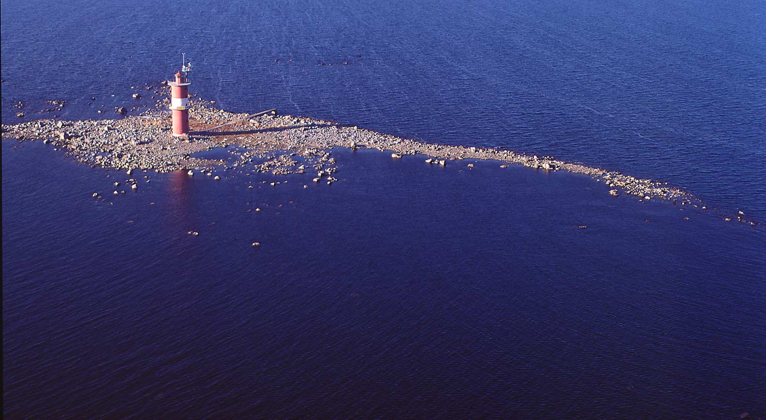
- Fixed aids to navigation, such as lighthouses, leading beacons and land-based lights.
- Other types of clearly visible permanent constructions, including church towers, power plant chimneys and base stations.
- Clearly visible landmarks, such as steep peninsulas.
- Floating aids to navigation.
- Gradual peninsulas, groups of trees and suchlike.
- Shallow reefs.