Maps and charts - A summary of Finnish Transport Infrastructure Agency's maps
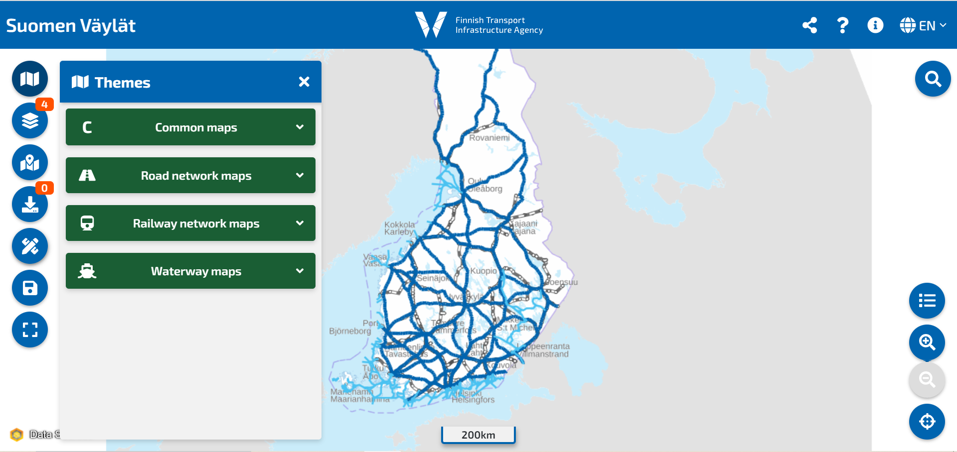
FTIA maintains several thematic maps on infrastructure data. You can find most of the thematic maps in the Suomen Väylät - service. Thematic maps include map presentations related to road and rail networks, as well as waterways, such as the Project Map, Road Number Map, and Railway network statement. In addition to maps there are also services available where one can view FTIA's data.
Links to the maps are summarized on this page and can also be found from the left menu under the different infrastructure types.
The most accurate data is available through FTIA's open APIs. Data from the map services are available through REST-apis. Data from projects and the Network statement for railways can also be downloaded. More information on these topics can be found from the API-site.
Common maps
Suomen Väylät - service - Viewing and downloading geospatial datasets related to road, rail, and waterway networks.
Road network maps
Road number map - You can find PDF-maps (2010-2023) from AVA.